The project of finishing the work was accepted (and eventually entirely funded) by the Bradshaw Foundation. As David Coulson and Alec Campbell could not come back and it was out of the question that Renee and I should do the work alone, I asked Yanik Le Guillou and Valerie Feruglio to accompany us to Dabous in January 2000 to complete the recording. Both are seasoned researchers who have long been part of my research team and in particular of the team I am in charge of at Chauvet.
The results of our research can be read below.
Jean Clottes
Foix, 14 March 2000
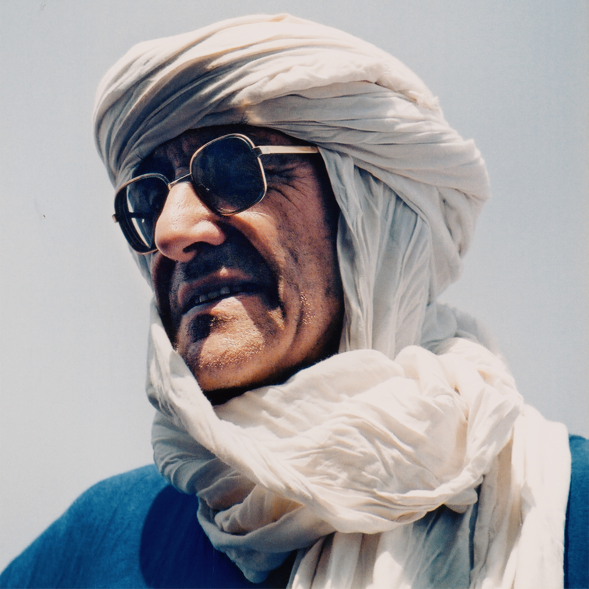
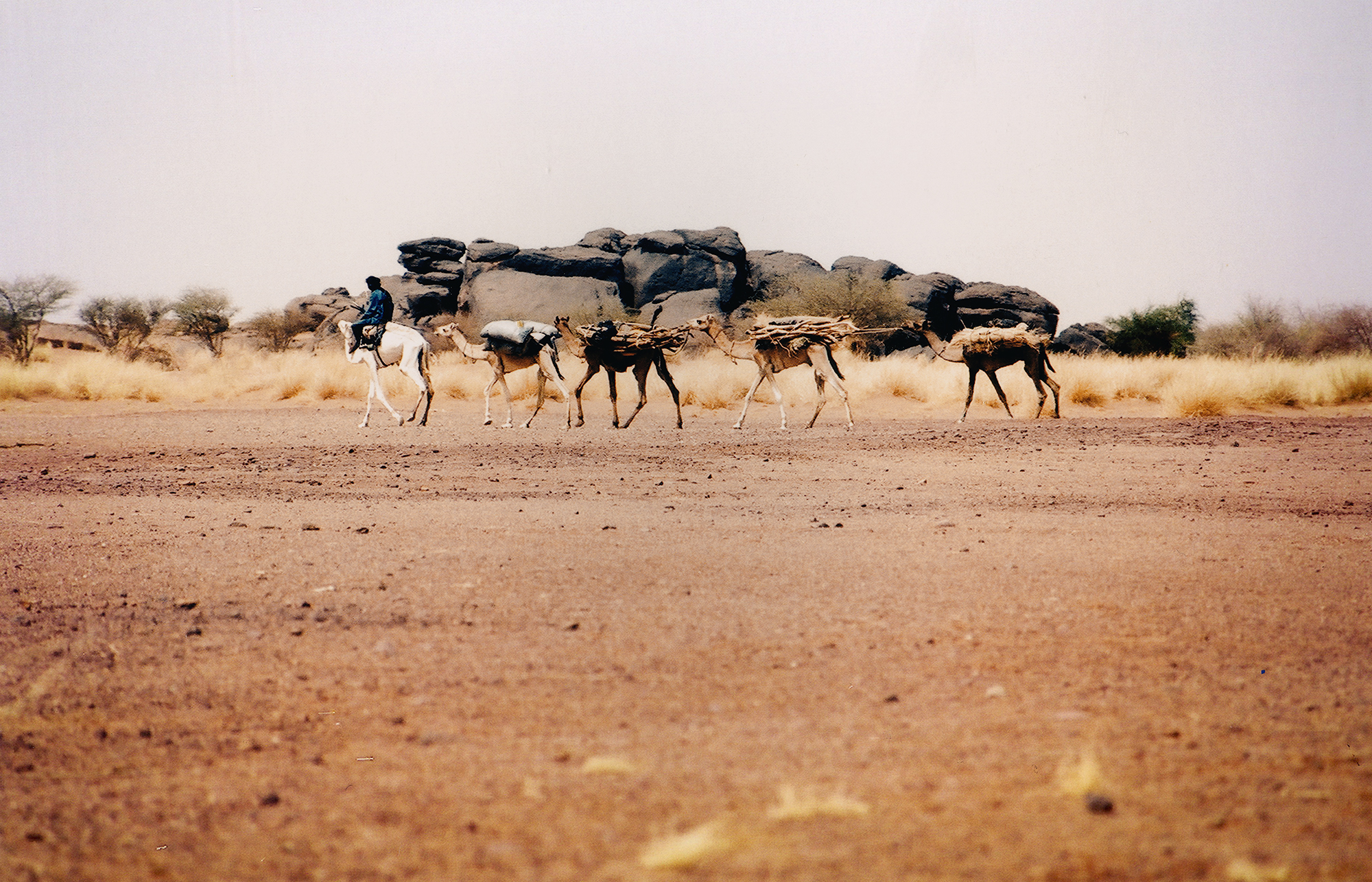
There had been a big change since the year before, because two guards (Azoum and Kantu) had settled there (Kantu with his wife and two kids) and a well had been dug between Dabous and the road, as had been planned after our 1999 expedition. The well, decided and funded by TARA, attracted Tuaregs from all around with their camels, sheep and goats, and the place was more alive than it had ever been. The routine we fell into was getting up at first daylight (slightly before7) when we were awakened by the bleating of the goats, then having breakfast and setting off for the rocks just after 8. Work until 12. Lunch and rest until 3.30. Work again at Dabous until night (6.30). Dinner around 7.30. Then, we all congregated around the fire with the Tuaregs, under the stars, and chatted, listened to Ibrahim playing his home-made pipe, or played sand games. Valerie also started to teach our cook, Adam, how to read and write.
During our stay, we took the opportunity to visit and photograph a few rock art sites: Kori Elailei that we had very briefly seen in 1999 and which we saw this year in detail , and two new sites very close to Dabous that the Tuaregs had found. Ekarkaoui of Dabous (about 1 mile to the east), Tasamakat in the Kori Agatra (about 10 miles to the south east). In both, we saw big giraffes and the same type of engravings as at Dabous. During the last week, Damon and Sandra de Laszlo joined us and we went to the Tenere. On the way, we saw two more rock art sites (Kori Tedek and Tizirzeit).
Our first task was to check our descriptive forms with the map. We had brought several xeroxes of our topography at various scales. This checking was done by Yanik and it enabled us fairly quickly to know exactly which part of the site had been recorded and what remained to do. In so doing many faint petroglyphs which had escaped us last year were noticed and pinpointed, so that the number to be recorded soon proved to be substantially higher than we had surmised.
Then, we systematically worked on one rock after the other until all the visible petroglyphs had been recorded. The rocks were all given more or less fancy names (it is easier to remember where « Rider » or « 2nd Giraffes » are than B14 or some such number!). We also artificially divided the site into five parts (north, south, east, west, center or top). In order to avoid mistakes, we sketched the subject recorded in it on each descriptive form. We were careful to devote one form to each individual drawing.
After a panel or a rock face had thus been recorded we would sketch the whole panel itself in order to put all the animals or humans in relation to one another. During the last week, Valerie checked those sketches to make it easier for her to redraw them properly later in Paris. With her I also rechecked the map of the site and she systematically added shading to give relief to the rocks.
In addition, she traced a number of petroglyphs with the help of various people including some of our Tuareg friends whom she started teaching how to do a tracing. All this was completed by a photographic coverage of all the rocks that could be photographed.
Back home, Valerie worked on redrawing the map and the sketches (sometimes with the help of the slides taken), while Yanik put all the collected information into a database and worked out the first results and their graphic transcription.
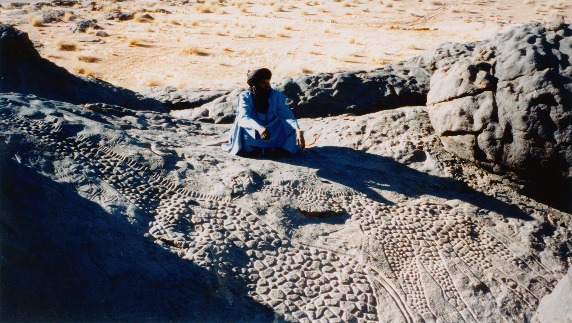
Nowadays, one always reaches the site from the south-west. The rocks in the west are less high than those in the east. The first rock on the south face with very visible engravings is Rider. About 40m to the east, a number of engravings were made on some superficial flats slabs on the ground. This is called Renee's site; it is easy to miss as the petroglyphs are only visible if one walks directly on those slabs. All the rocks on the south side are engraved but most with very few subjects. Their varnish is generally reddish (f. ex. Dogs), indicating that they are far less old than the big giraffes and other deeply varnished works elsewhere on the site. It is necessary to climb on the rocks to discover compositions with a significant number of animals. Those compositions cannot be seen from ground level. On some rock faces visible from the south side (Aardvark, for example), many more engravings could have been made and were not, even if the quality of the rock surface is quite good. It is surprising, from that point of view, that no engravings were made on the south face of the monumental Second Giraffe and very few on the less monumental boulder called Big Cow. No superficial erosion can explain those choices.
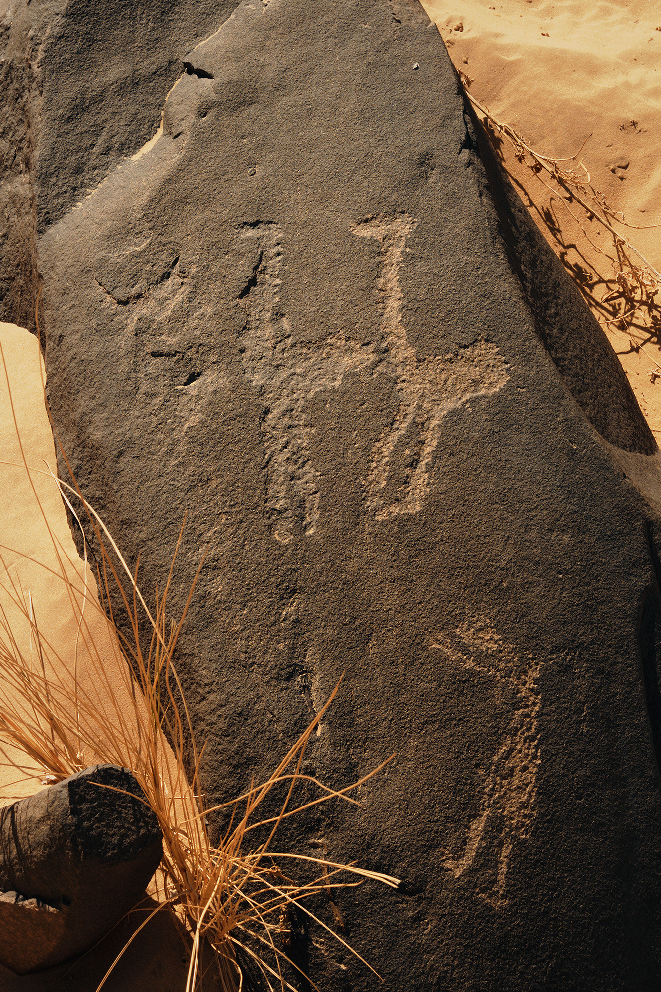
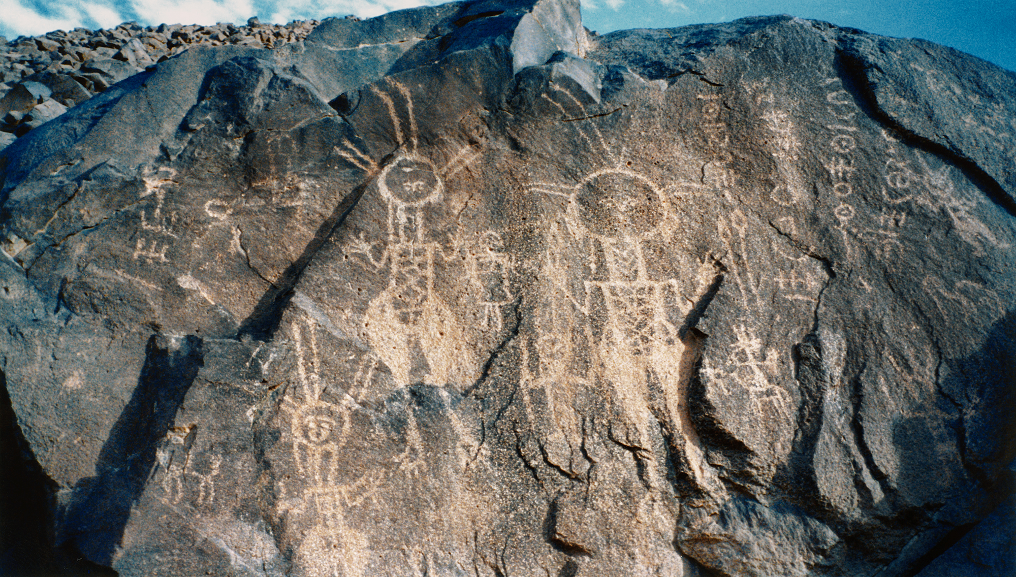
The east face is the one with the most important compositions, whether one considers the numbers of subjects represented, their sizes and their techniques. For example, in the narrow passage called Antelope, between Big Cow and Lion, the superb petroglyphs show deep wide grooves with inside polishing and deep dark varnish, indicating their relative age all the more as some more recent engravings (camels, tiffinars) are reddish and more superficially pecked. The technique of the polished big grooves is that used in part for the big giraffes and a number of other animals on the top. The top parts of Big Cow and Lion are covered with numerous engravings, especially Big Cow where some big animals, also deeply varnished, have the inside of their bodies pecked. Whereas in the crack between Lion and Camel the rare engravings are reddish and recent (camel). A few fairly eroded engravings are still visible on Easternmost and the lower ones are covered by the sand. Beautiful Cow is a gigantic rock which was entirely undecorated on its top and very little on its south and east side while its north face was engraved with a huge giraffe and a herd of cattle, all very eroded now.
The first big rock of the north face we called Sloping, because of its shape, where the rocks were often engraved but where the works are more exposed and exfoliate or get eroded, so that the figures are quite damaged and often are not very visible any more. Only the most recent ones, with their clearer varnish, can be seen well (with a few exceptions, like a very beautiful bovid with polished grooves on one of the North boulders).
On the west face, one can hardly see anything at first sight and the engravings are rather rare. It is true that it is the less spectacular side of the whole, with its scattered and not very high boulders. Only the top of the boulders (center) to the south-east are spectacularly covered with engravings, the best being of course the two big giraffes, which are really the center of the whole - archaeologically if not topographically. Next to them are Second Giraffes, also profusely engraved, as well as a number of other rocks on the south side. The top of Big Cow is a complex maze of engravings. Elsewhere on the top, petroglyphs are scattered here and there, sometimes on the very top of the boulders, sometimes on their vertical sides.
We recorded in all 828 figures, i.e. nearly as many as what we had done in 1999 (430 in 1999). Out of them, 46 remained unidentified because of their bad preservation. In addition to 17 tiffinars (Tuareg script), we numbered 704 animals and 61 human figures. Not all the animals could be determined as to their species : 159 were just indeterminate animals (we strongly suspect that most of them are bovids).
Out of the 545 identified animals, bovids are clearly dominant (253, i.e. 46%). They are followed by a group of three species, each with about the same number of representations : ostriches (88, i.e. 16%), antelopes and gazelles (we have lumped them in one group, because only the length of their horns enables a determination and it is easy to mistake one for the other : 87, i.e. 16%) and giraffes (80, i.e. 16%). However, giraffes are by far the biggest of all the representations, not only those that were moulded but several others in various parts of the site; this means they were given a special importance irrespective of their numbers. Seven other species barely reach 7% all together (12 camels or rather dromedaries, 11 dogs, 6 rhinos, 3 equids (horses or donkeys), 2 monkeys, 2 elephants, 1 lion).
The distribution of each species on the map does not reveal obvious concentrations of this or that species on a particular spot nor the avoidance of others. The various animals are fairly evenly distributed all over the site, except perhaps that giraffes are fewer on the north side where there are no camels.
However, the maps obviously put into relief something which had struck us when we were there. The south side and the east side are the ones with the most engravings (65% of the total). When a traveller comes from the east it is true that the east side is very impressive as it is the place where the boulders are higher. Coming from the west one would have two options : to follow the river in which case one would follow the north side, or to walk more inland - as we do nowadays - and then one would come to the south side.
We have also noticed that a few particular boulders had been chosen again and again. Out of 81 rocks with petroglyphs, 4 of them (5% of the rocks engraved) bear 268 engravings i.e. 38% of the whole. Those four are Big Cow (115), Second Giraffe (59), Big Giraffes (50), Lion (44). All those big rocks are in the south-east corner of the site.
Dabous had been studied previously by a French researcher, Christian Dupuy, who published a sketchy map of the site and mentioned 266 engravings. His estimate was that there could be around 300 in all (1988, p.305). It was then extremely interesting to compare his results with ours. Unfortunately, in his articles he did not give the exact number of animals per species. I then got in touch with him and he agreed to send me his unpublished material so that we can make use of it later in our scientific study.
However, he did publish a couple of results : - the percentage of humans in relation to animals, which he found to be 11% ; - the percentage of domestic animals (bovids, horses and donkeys, camels, dogs) in relation to all identified animals which was 52%. Our own results, based on quite a bit more than twice the number of engravings, closely parallel his for humans (8%) and are identical for the domestic species (297/545 =51%).
As to the percentages of animals per species, Dupuy found 50% of bovids (against our 46%), 14% of giraffes (against our 16%), 10% of ostriches (against our 16%) and 9% of gazelles/antelopes (against our 16%). Other animals barely reach 6% (against our 7%).
This means that an in-depth study of the site, such as ours, broadly gives the same results as a more superficial one as far as the relations of humans to animals and of domesticated to wild species are concerned. As to the relations of the various species to one another, significant differences only appear as regards the gazelles/antelopes and the ostriches, more numerous than had been thought as first. However, on the whole, Dupuy's results tally with us. This is of great importance from a methodological point of view (the study of the Air mountains) and also because it reveals a commonality of beliefs and practices during what has been called the Bovidian period/culture, a few thousand years ago.
In the weeks to come, we'll have the completed map and the sketches of a number of panels. We'll also work on the data base - for example on the techniques used, on the varnish, etc. As things stand we have more than enough material to realise the « glossy » book that had been decided last year and to start on a more extensive scientific book.
The material we have gathered (photos, sketches, maps, descriptions, tracings) also makes it possible to give a lot of in-depth information about Dabous on our web site, or again an exhibition about the work done and the results achieved if this were thought advisable. At the end of our field work at Dabous in 2000, I give my warmest thanks to the Bradshaw Foundation for having made possible this new and last campaign.
