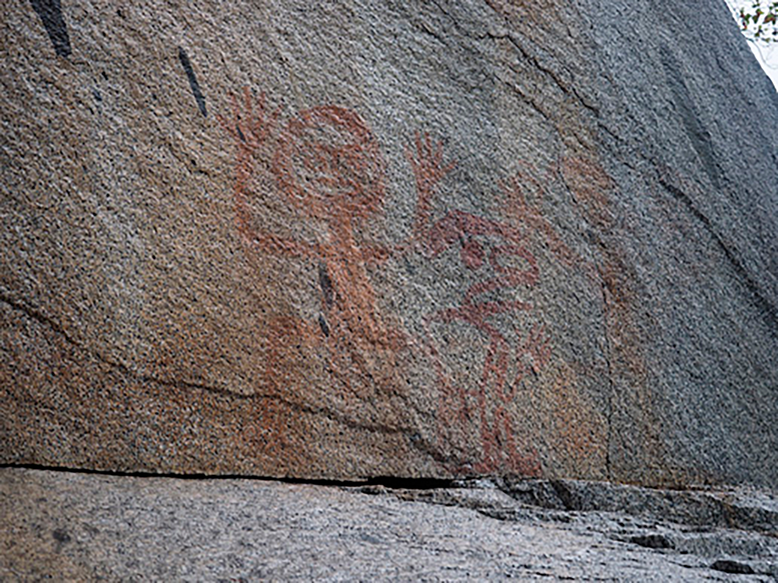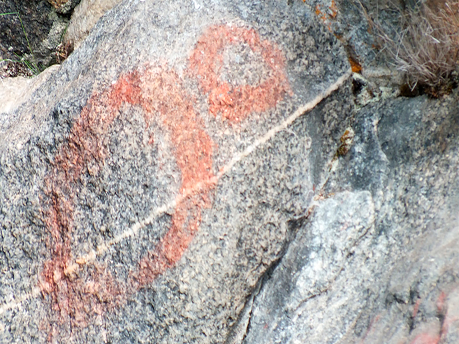
The landscape where the rock art pictured below exists is made up of a myriad of small islands, deep inland saltwater fjiords, and large lakes. Dramatic cliffs and coastal rainforest set the stage for painted pictographs and pecked stone petroglyphs.
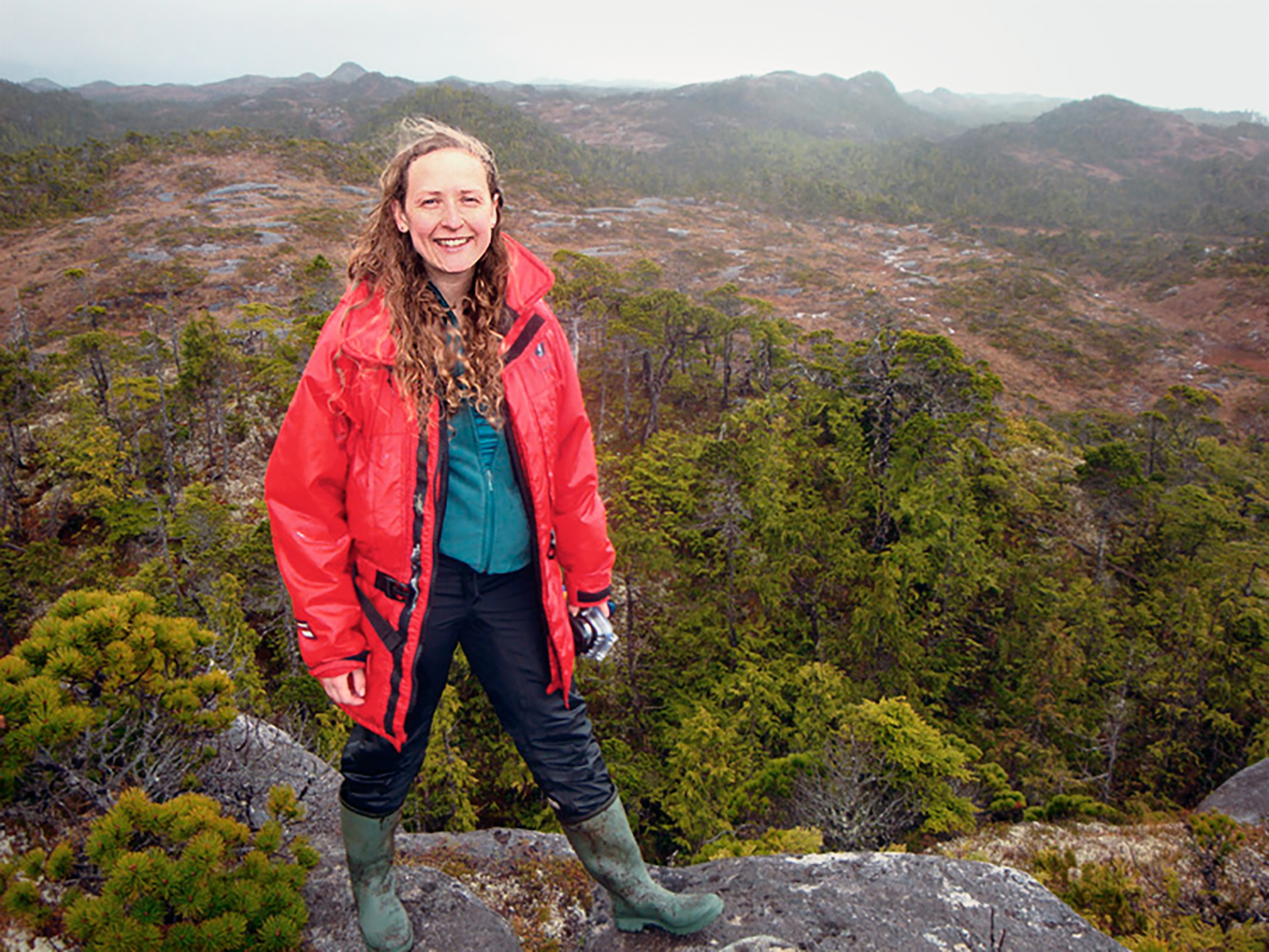
From 2013-2015 I conducted research on rock art on the Central Coast of British Columbia, Canada, in non-contiguous areas within Heiltsuk Territory and Wuikinuxv Territory (two First Nations, indigenous Nations). If you want to know more about this project see my MA thesis http://hdl.handle.net/1828/6455. I conducted my research through University of Victoria and the Hakai Institute.
In addition, I have documented rock art for several other Nations in the region. The photographs showcased below are of Wuikinuxv Territory rock art and are presented with permission from Wuikinuxv Band Office representatives, 2015. I never work in isolation, I always work with the descendant communities and do not reproduce images without prior permission from my research liaison at each First Nation in respect of intellectual property.
The primary focus of this research was to document the rock art, which in many instances had not previously been recorded by an archaeologist. To do this I used DStretch, courtesy of Jon Harmon, http://www.dstretch.com, to digitally adjust the contrast of the images and bring out barely-visible pigment (see examples below). This work was a community-engaged endeavor and almost all the people who worked with me were hired from within the descendant community of the regions? rock art.
I am wary of making statements regarding exactly what the rock art meant to the creators of it; it is not possible to ever really know that. There are some ethnographically-documented examples of what rock art means in BC which are discussed in my thesis. Meaning is complex. One way to approach the conundrum of meaning is to consider portable art pieces which resemble rock art designs. For example, portable art 'coppers' are large trapezoidal-shaped artistically-decorated objects which are used in the economic and ceremonial life of Heiltsuk Nation and Wuikinuxv Nation (as well as some other First Nations). These objects appear to be depicted in many of the rock art images below and are important in contemporary potlatching culture.
As can be seen on the other sections of this website, Coastal BC rock art is quite different from the styles of interior BC rock art.
Frequency of practice is easier to determine than exact meanings. Of the rock art sites I visited in Wuikinuxv Territory, I noticed that designs were most frequently of: dots, coppers, eyes and faces. And all rock art fit into these categories or anthropomorphic figures, zoomorphic figures (i.e., birds, sea creatures, and quadrupeds), geometric designs, or were unidentifiable.
Most are painted with red ochre paint, but a few sites are painted in other colours and a few sites are pecked stone petroglyphs.
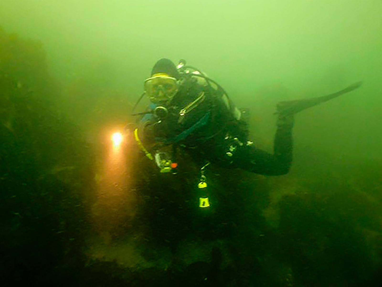
Sea level curves may be useful in suggesting minimum dates when studying submerged rock art. I have scuba dived at sites in BC where the rock art is partially submerged and extends into the water (there are completely submerged rock art sites in BC which I hope to research in the future). Additionally, some rock art I have visited in BC is only visible at specific times of year which could suggest sea level change or a deliberate choice on the part of the creator that the rock art be only witnessed during some seasons.
The area where I conduct research is about halfway up the province of British Columbia on the area known as the Central Coast. As most of the population of BC resides near the 49th parallel close to the U.S. border, the area where I work is geographically-isolated and the communities have relatively low populations and minimal infrastructure. For example to reach the community of Rivers Inlet (Wuikinuv Village, ~100 people, primarily of Wuikinuxv descent) it requires that I drive 6 hours along Vancouver Island then boat for an additional 2+ hours or take a 0.5 hour float plane ride. There are no roads to reach Rivers Inlet. Similarly, when I work in Heiltsuk Territory it requires me to fly or boat to the island where the community of Bella Bella is located (~1400 people, primarily of Heiltsuk descent).
If you would like to hear me interviewed you can listen to the CBC_interview or read more in this interview http://www.hakai.org/blog/life-at-hakai/digital-tools-reveal-ancient-art.
Thank you to the Tula Foundation and Hakai Institute for providing funding and support for my MA research.
Also thanks to: Wuikinuxv Nation, Heiltsuk Nation, University of Victoria, and the Bradshaw Foundation.
These photos are not to be reproduced without written permission from Wuikinuxv Nation and the author.
Name: Aurora A. Skala
Location: Victoria, BC, Canada
Age: 33
Profession: Archaeologist
In addition to studying rock art, my research interests include: underwater archaeology (excavating shipwrecks, and sea level change), ethnoarchaeology (replicating ancestral skills such as flintnapping, bowdrilling, textile technologies such as spinning/weaving/dyeing), ethnobotany food preservation and storage, community-engaged activities and cultural rediscovery, soil/sediment analysis, midden excavations, lithic and faunal analysis.
Additionally I enjoy gardening, recreational scuba diving, and music.
