

Early Roman occupation of this northern region is captured in the writing tablets from the fort at Vindolanda in Northumberland, mostly dating to AD 90-110. These tablets provide vivid evidence of the operation of Roman forts at the edge of the Roman Empire, and of an organized and rather cultured nature. However, by 105 AD, this Roman lifestyle was threatened by the tribes of the Picts who were now attacking the Roman forts.
These uprisings in the north continued into the beginning of Hadrian's reign in 117 AD. When Hadrian reached Britannia on his famous tour of the Roman provinces in 120 AD, he directed an extensive defensive wall - Hadrian's Wall.
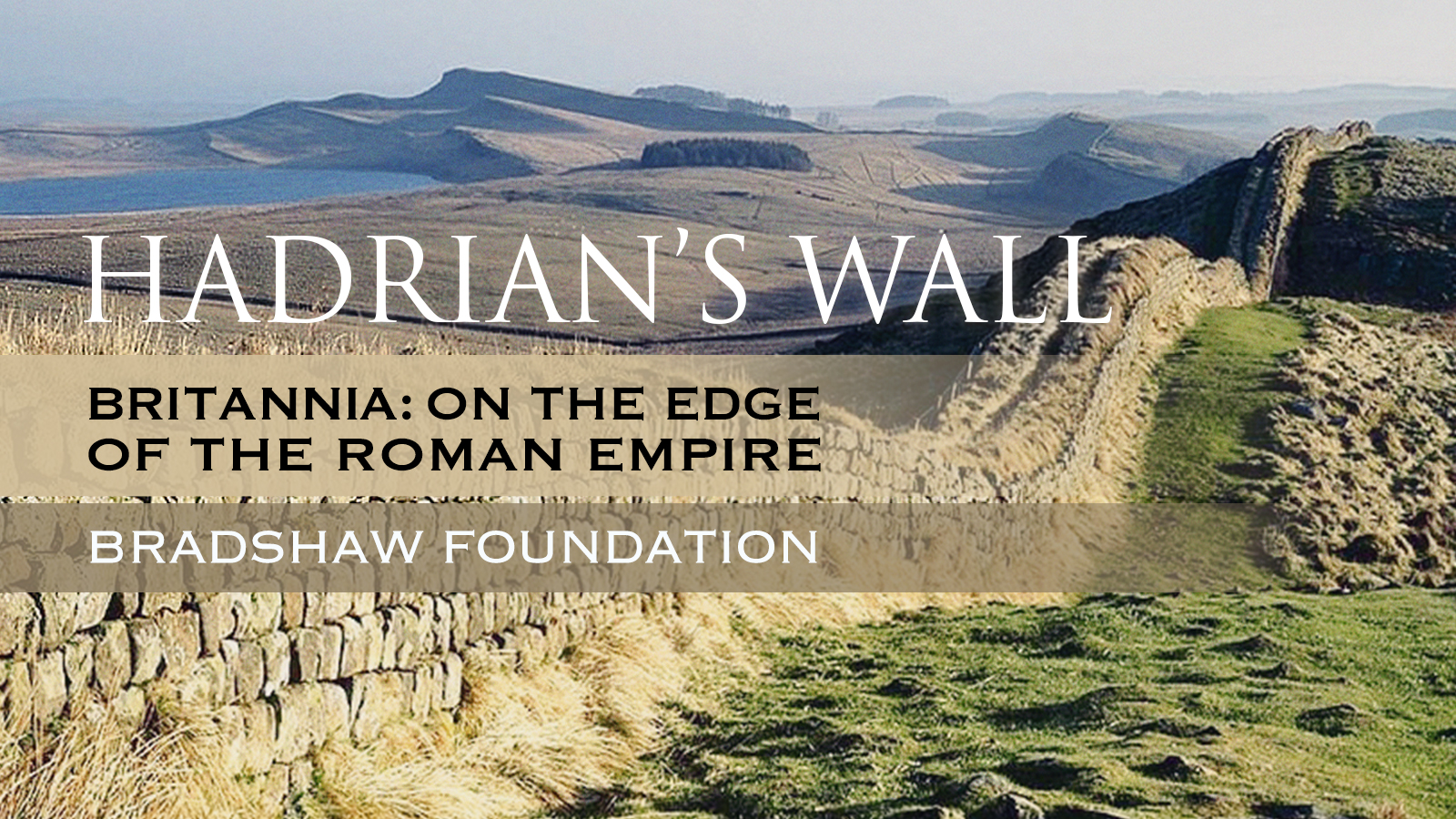
Hadrian's Wall was built as a Roman frontier in the years AD 122-30 by order of the Emperor Hadrian. It was 73 miles long - 80 Roman miles - and ran from Wallsend-on-Tyne in the east to Bowness on the Solway Firth in the west, and made use of ridges and crags, particularly Whin Sill. The wall was built in approximately 6 years.
Hadrian's initial plan called for a ditch and wall with 80 small gated milecastle fortlets, one placed every Roman mile, holding a few dozen troops each, and pairs of evenly spaced intermediate turrets used for observation and signalling. This plan was not adhered to exactly, and the wall took on particular characteristics depending on what resources were available - predominantly but not always limestone - and who was building it. The construction initially involved a clay-bonded rubble core with mortared dressed rubble facing stones, although sometimes a mortared core was necessary.
The milecastles and turrets were of three different designs, depending on which Roman legion built them - the Second, Sixth, and Twentieth Legions. Construction was divided into lengths of about 5 miles. One group of each legion would excavate the foundations and build the milecastles and turrets and then other cohorts would follow with the wall construction.
The wall was finished in 128 AD. Hadrian's Wall was declared a World Heritage Site in 1987.
Northumberland is the northernmost county of England. Scotland to the north, Cumbria to the west, and its North Sea coastline to the east.
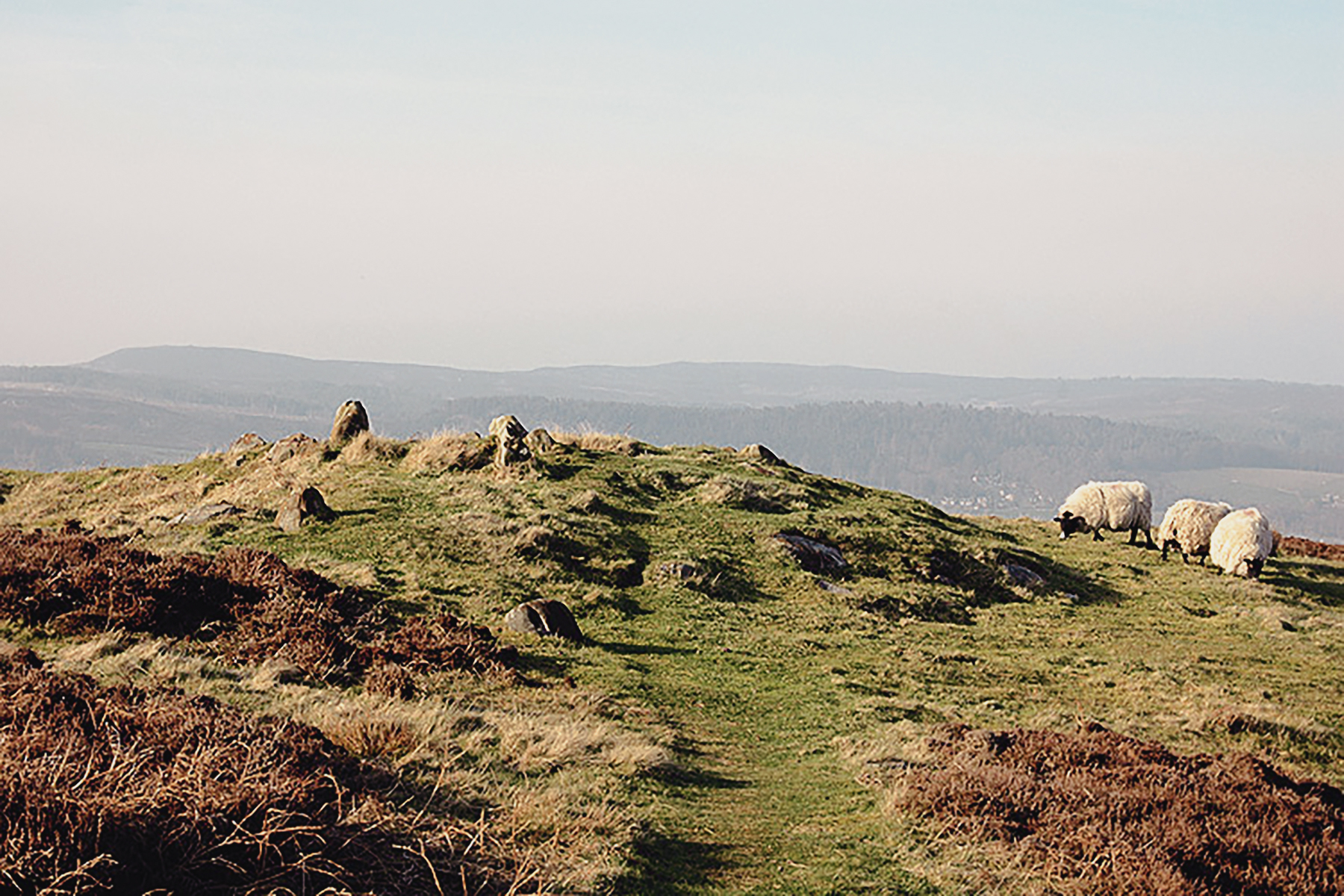
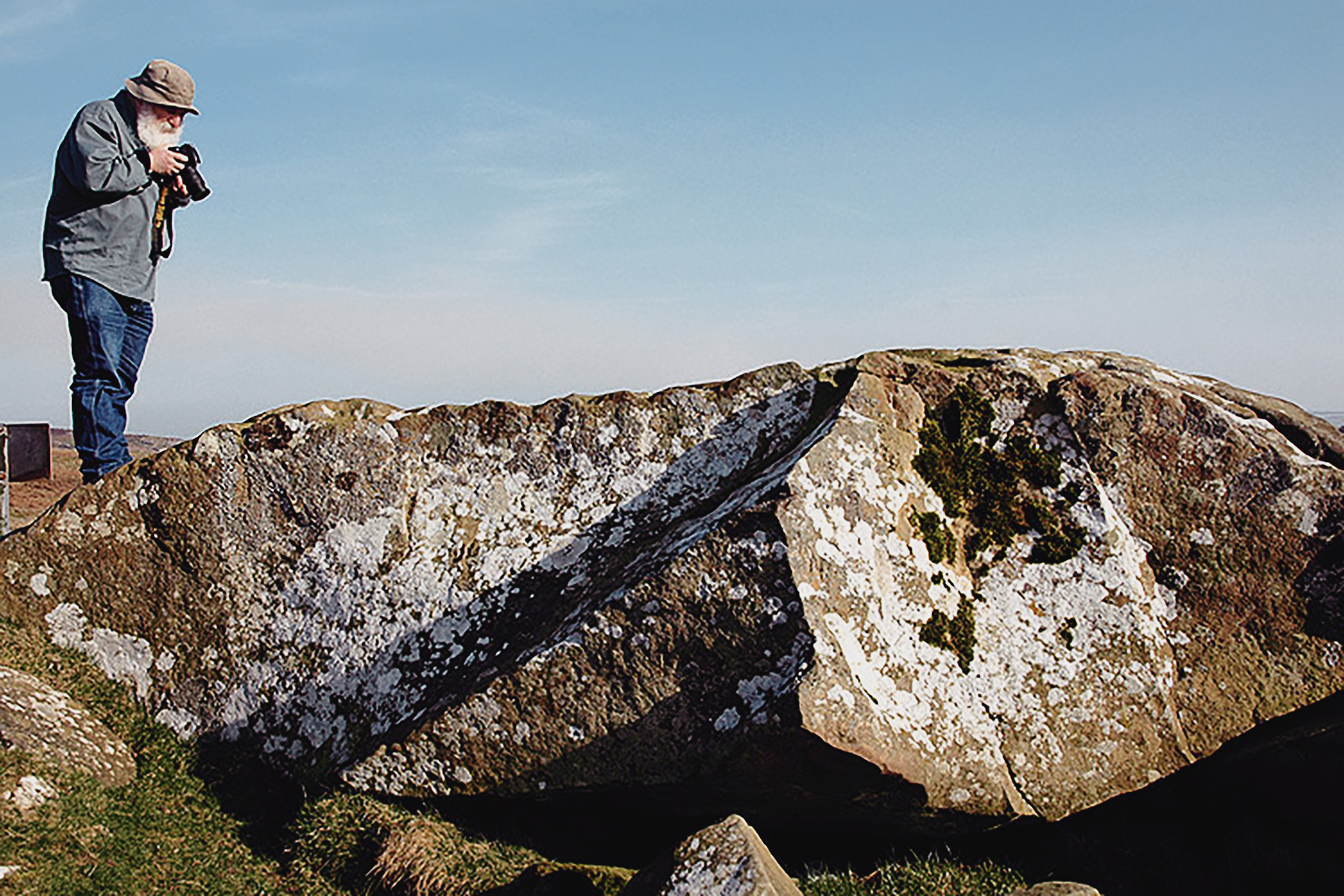
Northumberland is defined by its undeveloped landscape of high moorland. This undeveloped landscape, however, harbours well over a thousand examples of ancient occupation in the form of rock art, made by Neolithic and Early Bronze Age people between 6000 and 3500 years ago. And yet despite being one of the most important collections of prehistoric art in the British Isles, the precise meaning still eludes us. Dr Aron Mazel, of Newcastle University, invited me to Northumberland to see the exquisite abstract carvings, explain the theories that surround them, and demonstrate how these prehistoric petroglyphs are being preserved and shared with us in the 21st Century. My visit included three spectacular rock art sites: Roughting Linn, Weetwood Moor and Lordenshaw.
→ Subscribe free to the Bradshaw Foundation YouTube Channel
→ British Isles Prehistory Archive
→ British Isles Introduction
→ Stonehenge
→ Avebury
→ The Rock Art of Northumberland
→ Signalling and Performance
→ Cups and Cairns: Prehistoric rock art and monuments of the South Wales uplands
→ Bryn Celli Ddu
→ The Red Lady of Paviland
→ The Prehistory of the Mendip Hills
→ Rock Art on the Gower Peninsula
→ Megaliths of the British Isles
→ Stone Age Mammoth Abattoir
→ Bradshaw Foundation
→ Rock Art Network


